« Koeye River - September 5th - UAV Imagery | Main | Drone Mapping - A Sample of Things to Come. »

McMullin Islands - September 4th, 2015

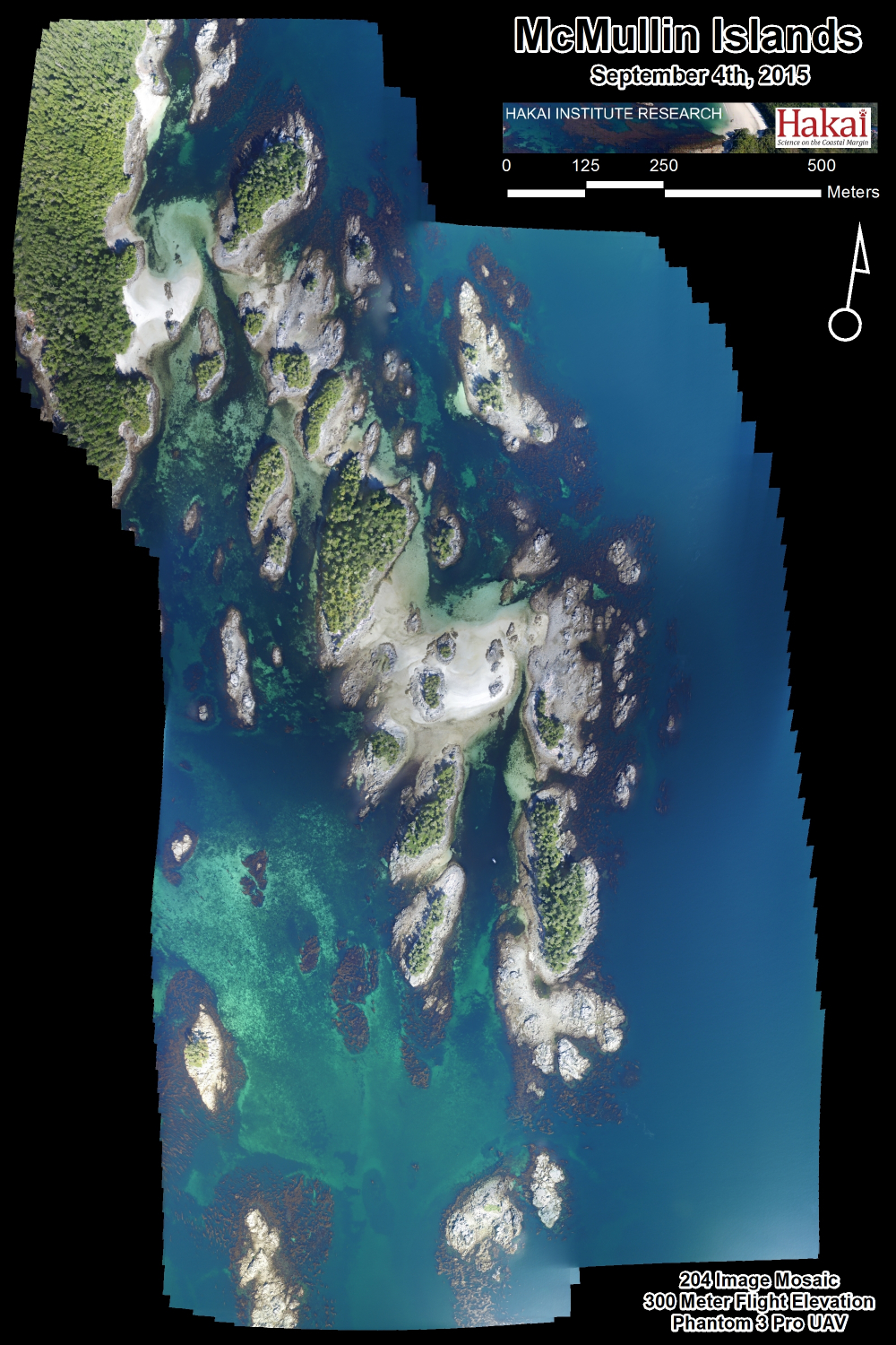
McMullin Islands - Central Coast of British Columbia.

One Flight - 204 Images - 2 km x 1 km Coverage - 1.4 Meter Tide.


Reader Comments

There are no comments for this journal entry. To create a new comment, use the form below.

PostPost a New Comment

Enter your information below to add a new comment.

My response is on my own website »
Author Email (optional):
Author URL (optional):
Post:
 
Some HTML allowed: <a href="" title=""> <abbr title=""> <acronym title=""> <b> <blockquote cite=""> <code> <em> <i> <strike> <strong>