
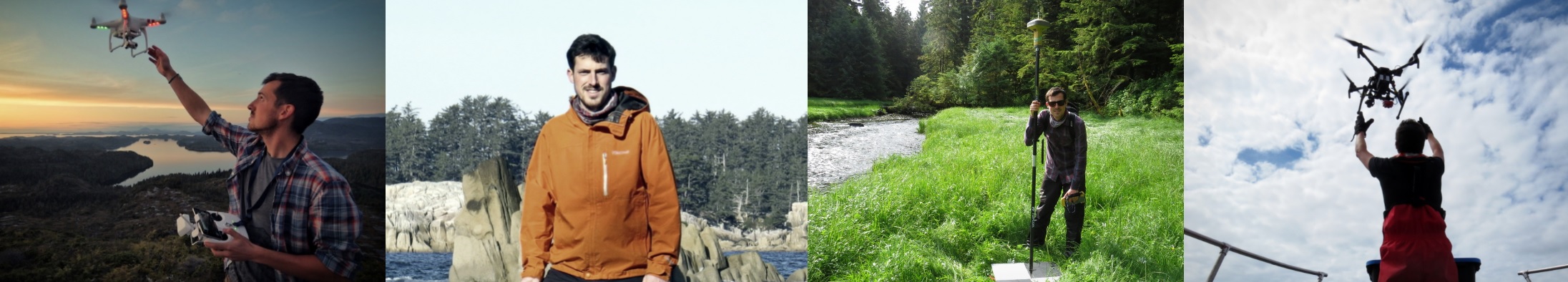
Greetings! My name is Keith Holmes and I hope you enjoy Maptalker.
I graduated at the University of Victoria with a master of science degree in 2012. My research interests revolve around changing landscapes, drone mapping, spatial pattern analysis, and cartography.
In my spare time I like to ride my bike, go camping, and do house renovations. I enjoy a nicely placed hammock and exploring the coast.
Current Projects:
I am working at the Hakai Institute researching all sorts of spatial science topics on the Central Coast of British Columbia. I work with a number of researchers to expand the spatial context of their work. At any one time I am involved in projects related to LiDAR, kelp mapping, onling mapping, marine mammals, forest productivity, archaeology, and hydrology.

Previous Projects:
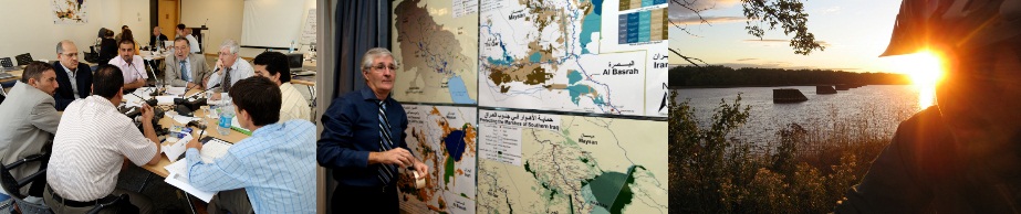
From 2007 to 2010, I contributed to a Canadian International Development Agency (CIDA) project in Iraq, where I focused on geospatial analysis of environmental and social issues. My work involved researching spatial data related to water quality, infrastructure, biodiversity, and socio-economic conditions using Geographic Information Systems (GIS). During this time, I had the opportunity to collaborate with several international organizations—including UNDP, OCHA, WHO, FAO, and RAMSAR—as well as with officials from the Iraqi government. I continue to monitor the conditions of the Iraqi Marshlands, with recent maps available in the “Iraq” section of this site.
In December 2012, I successfully defended my Master of Science thesis. My research used a 21-year dataset of remote sensing and climate data to develop a predictive model assessing potential future changes in landscape productivity and biodiversity indicators under various climate change scenarios. For more details, please refer to the publications section.
Spatial Pattern Analysis and Research Laboratory at the University of Victoria
Contact: keith.holmes@hakai.org